By Vann Burgess
U.S. Coast Guard, Boating Safety Division
Boating Mistakes…
And How To Avoid Them
If you’re new to boating – or even if you’re not – it’s easy to make simple mistakes that may have serious consequences on the water. Almost always boating errors are caused by being in a hurry, not paying attention, or both, and most of them are more embarrassing than anything else; for example, failing to tie up the anchor before tossing it over the side or jumping from the boat to the dock and ending up in the water instead.
But the upside to these kinds of errors is that you can easily avoid them by taking a basic boating course, staying focused and always completing a pre-departure checklist. Never assume somebody pulled up the anchor, put in the boat plug or…well, you name it. Under rules established by the U.S. Coast Guard, a vessel operator is always responsible for his or her actions. Here are five of the most common boating errors and some thoughts on how to avoid them.
1
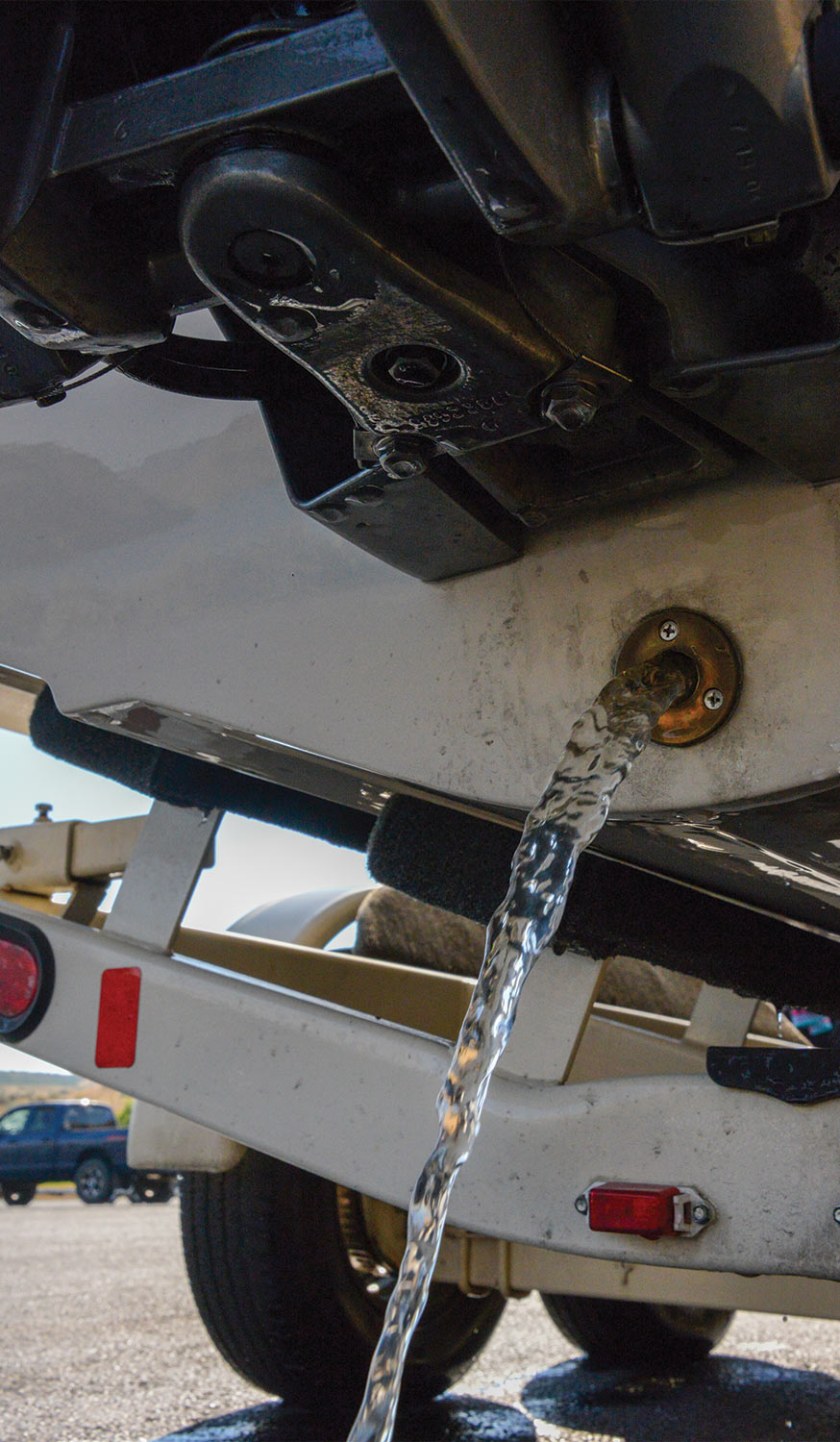
Embarrassing? Very. But this even happens to professionals on occasion. I have seen—though rarely—emergency crews launch a boat and take off without installing the plugs. Everything’s fine while they are speeding along, but when they slow down to come alongside, the boat suddenly fills with water surprising everyone, especially the person expecting to be rescued! Don’t assume the drain plug is in the boat. Double-check.


Anchors need to be pulled at a narrow angle to the bottom to allow the flukes to catch, dig in and become set. Once you’ve paid out the right amount of line, set the anchor by securing the line to the bow cleat and drifting or slowly reversing power downwind, with the bow facing the anchor, until you take up the slack. Add a little, but steady, reverse power until the anchor digs in and holds. If the anchor drags, pull it up to see if it’s tangled in the line or fouled by weeds. If so, try again. You may have to move to another location to find the kind of bottom that will allow the anchor to dig in and take hold. Stay away from underwater pipes or power lines where you intend to anchor, otherwise you could get a nasty surprise. Also, if you anchor in the vicinity of other boats, be aware of the fact that if the wind shifts or the current changes, your vessel may pivot. You’ll need to account for this when selecting an anchoring spot.
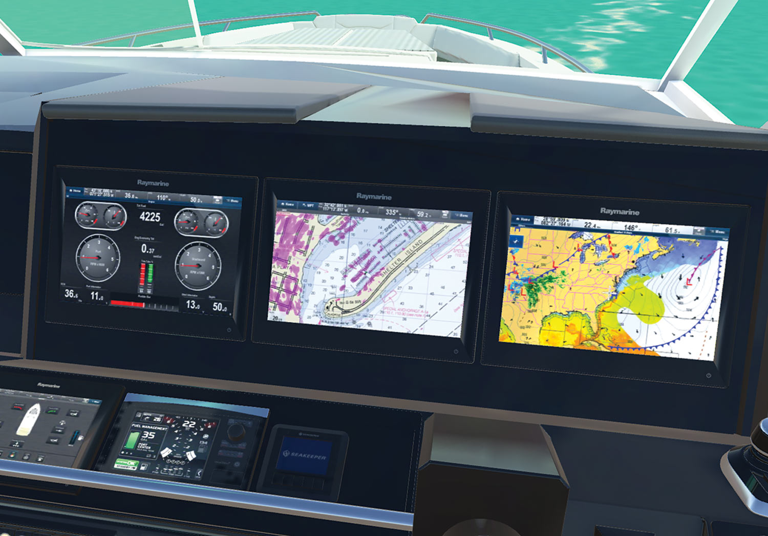
Failure to carry appropriate and up-to-date nautical charts for the area traveled. In order to be truly safe, a smart skipper carries a chart of the waters on which he or she is traveling. Not only do you need to know where you are and what is around you but you also need to know what is under you. Yes, there is a bottom under all that water, and a chart will tell you how deep the water is, what the bottom is made of and if there are any obstructions that could cause a problem, such as rocks. Without appropriate charts, a boat operator runs the risk of running aground, hitting submerged objects or just plain getting lost.
Everything’s gone digital and nautical charts are no exception. Digital charts are available for use with marine GPS units or even your laptop computer. You can find digital charts for all of the Great Lakes. Go online and you’ll find a world of resources. There are, however, a few drawbacks to anything electronic. They can be a little spendy and if you lose power you lose your chart. You can get paper charts much cheaper and they don’t require batteries. Paper charts are available from many commercial providers as well as from the U.S. government. You can even find print-on-demand versions online. Whatever source you choose, just make sure they are up to date.
Each year the Coast Guard gets countless calls from boaters who have gotten caught on the water at night and no longer recognize the shoreline. Often boaters will report that they see a flashing red light, in hopes we can pinpoint their location. But since a marine radio signal can transmit over many, many miles there may be literally hundreds of flashing red lights in the area, so this type of information really isn’t very helpful in locating a boat.
If you’re inexperienced at night navigation, allow plenty of time to get back to the marina before the sun goes down. A smart boater will make a few runs at night to become familiar with the area where he or she boats and to know what his favorite area looks like after dark. Again, use a nautical chart, if applicable. The chart will tell you where the Aids to Navigation are located, how they are lighted at night and what landmarks you may be able to see once the sun goes down. Always pay attention to where you are going while it’s light. Carry a VHF-FM marine band radio and if you become disoriented at night, the state or local patrol may be able to use your radio signal to locate your position and reorient you.
So keep in mind your boat’s maximum load capacity. On most mono-hull boats up to 20 feet in length, this information can be found on the capacity plate, permanently affixed to the hull. It notes the recommended maximum horsepower rating and maximum load weight at which the boat can safely operate, as determined by the manufacturer.
If a capacity plate isn’t present, contact the manufacturer of your boat and ask for capacity plate information. Always remember, the “maximum safe weight” includes people \ gear.
Then, when loading your boat, remember to load the heavy stuff low in the boat and toward the centerline. If possible, secure the load so it won’t shift as the boat moves through the water. This will keep things on an even keel and help keep the boat steady.